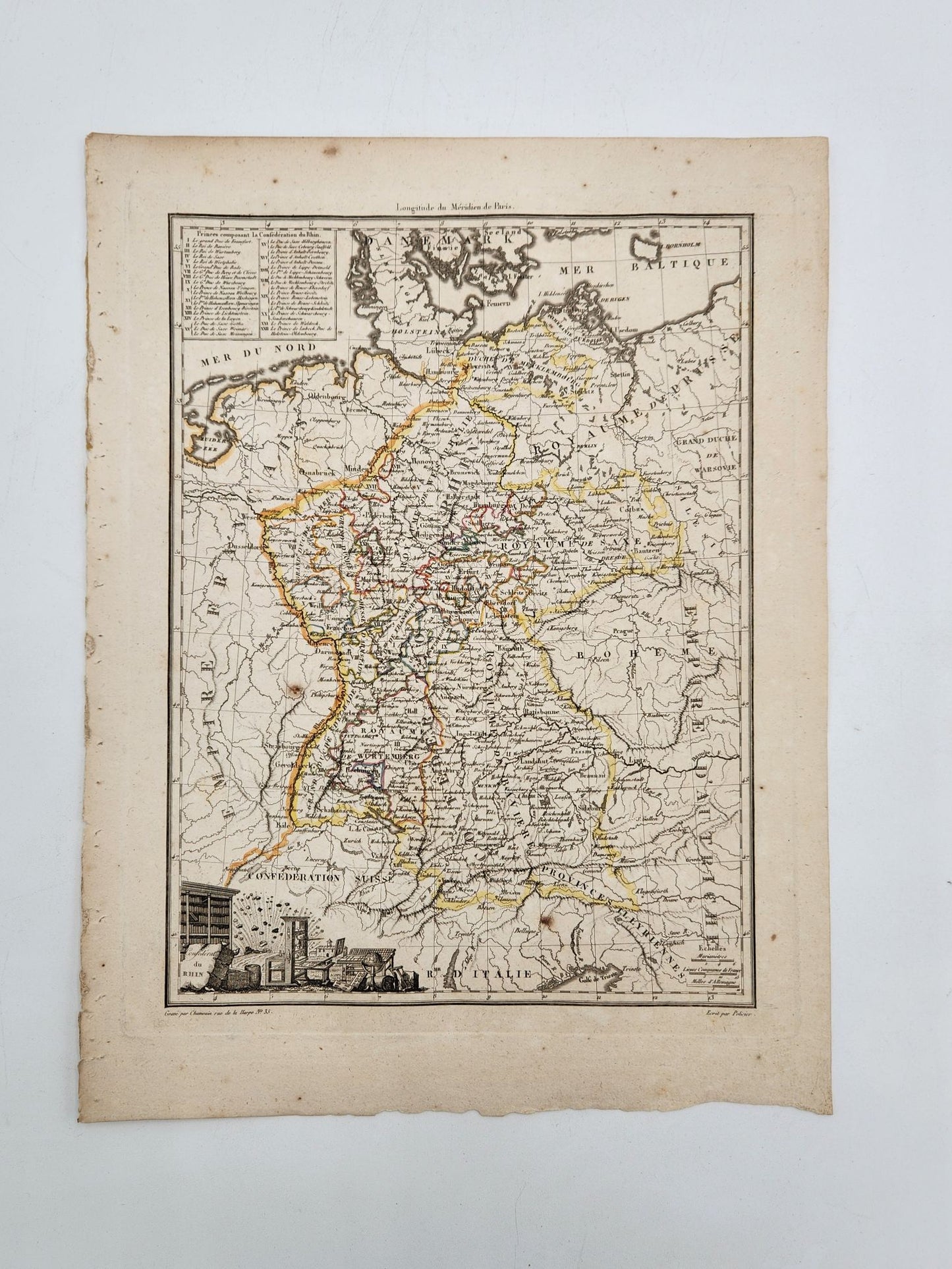
Antique Map 1812 of Alexandre, Confederat Du Rhin - Conrad Malte-Brun
Antique Map 1812 of Alexandre, Confederat Du Rhin - Conrad Malte-Brun
Regular price
$65.00 USD
Regular price
$65.00 USD
Sale price
$65.00 USD
Unit price
per
Shipping calculated at checkout.
Couldn't load pickup availability
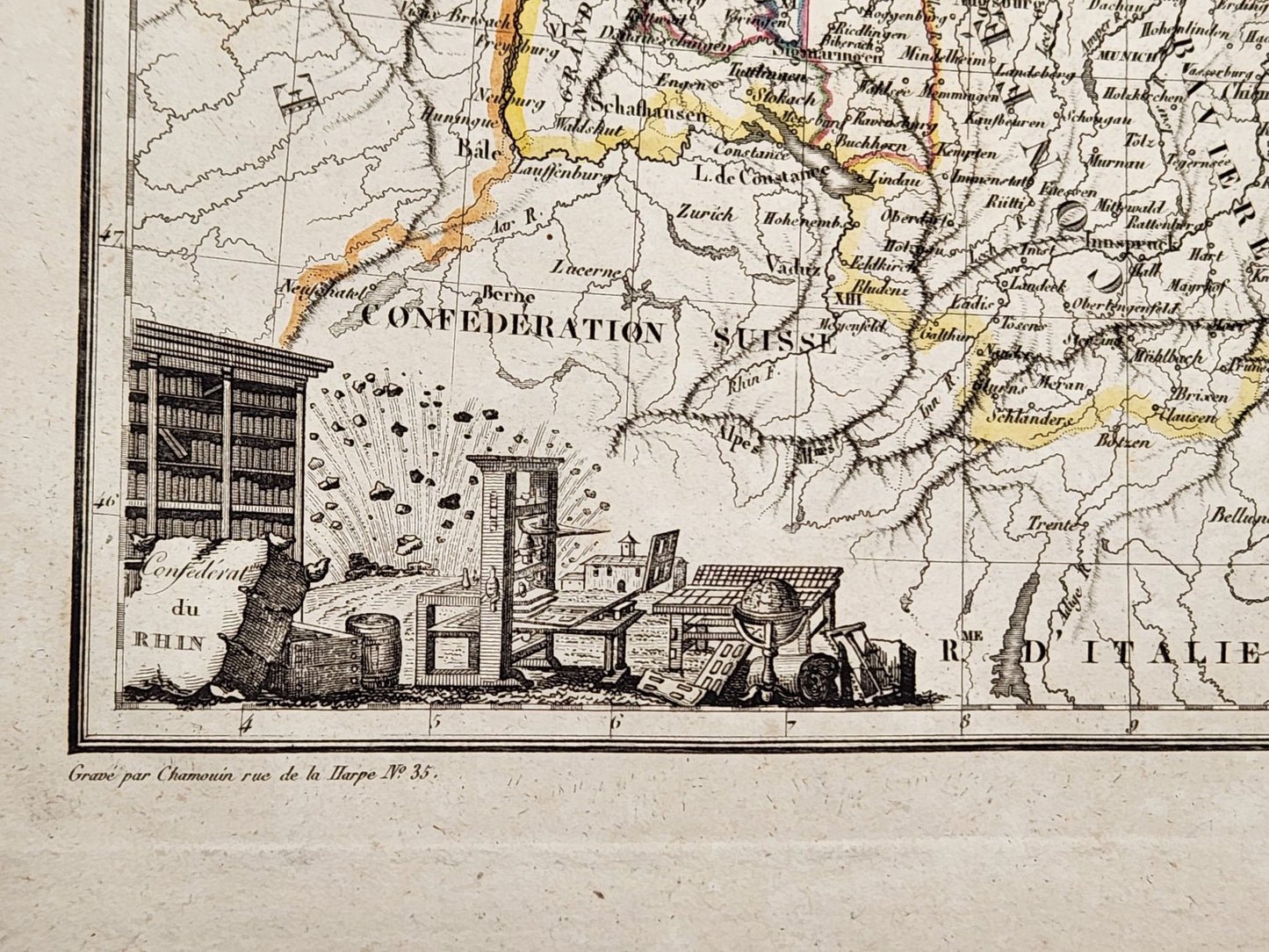
This is an antique, hand-colored map of Alexandre, Confederat Du Rhin from the Atlas Complet du Precis de la Geographie Universelle de M. Malte-Brun, by Lapie, 1812. Colored by region and featuring a decorative cartouche. Good antique condition. See photos. Page size is approximately 14.25 x 11 inches.


We have thousands of unique items at our location just a few minutes from the French Quarter. When you're in the New Orleans area, come by and see us!


