


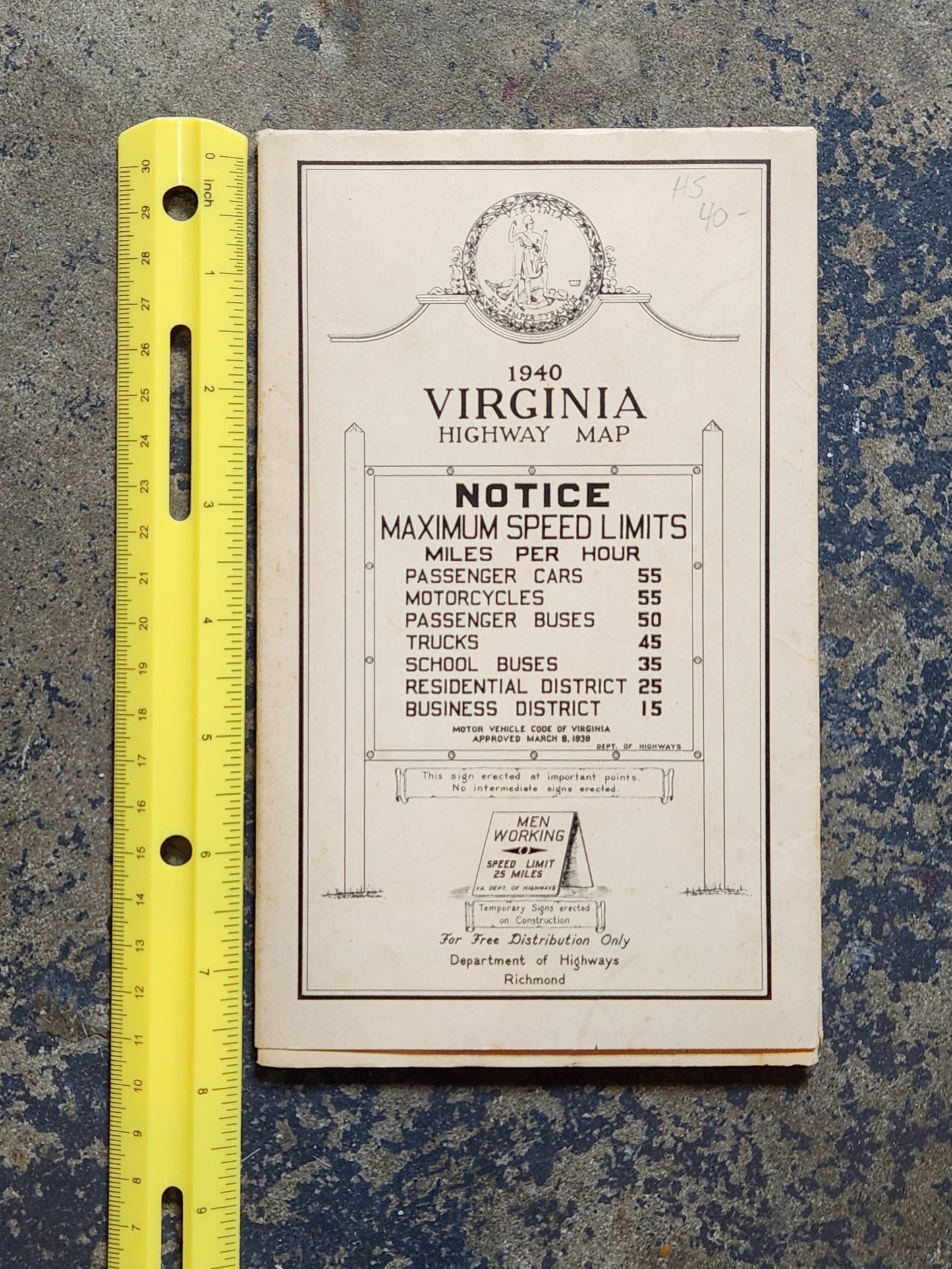
1940 Virginia State Highway Map – Department of Highways Richmond – Vintage Road Map
1940 Virginia State Highway Map – Department of Highways Richmond – Vintage Road Map
Couldn't load pickup availability
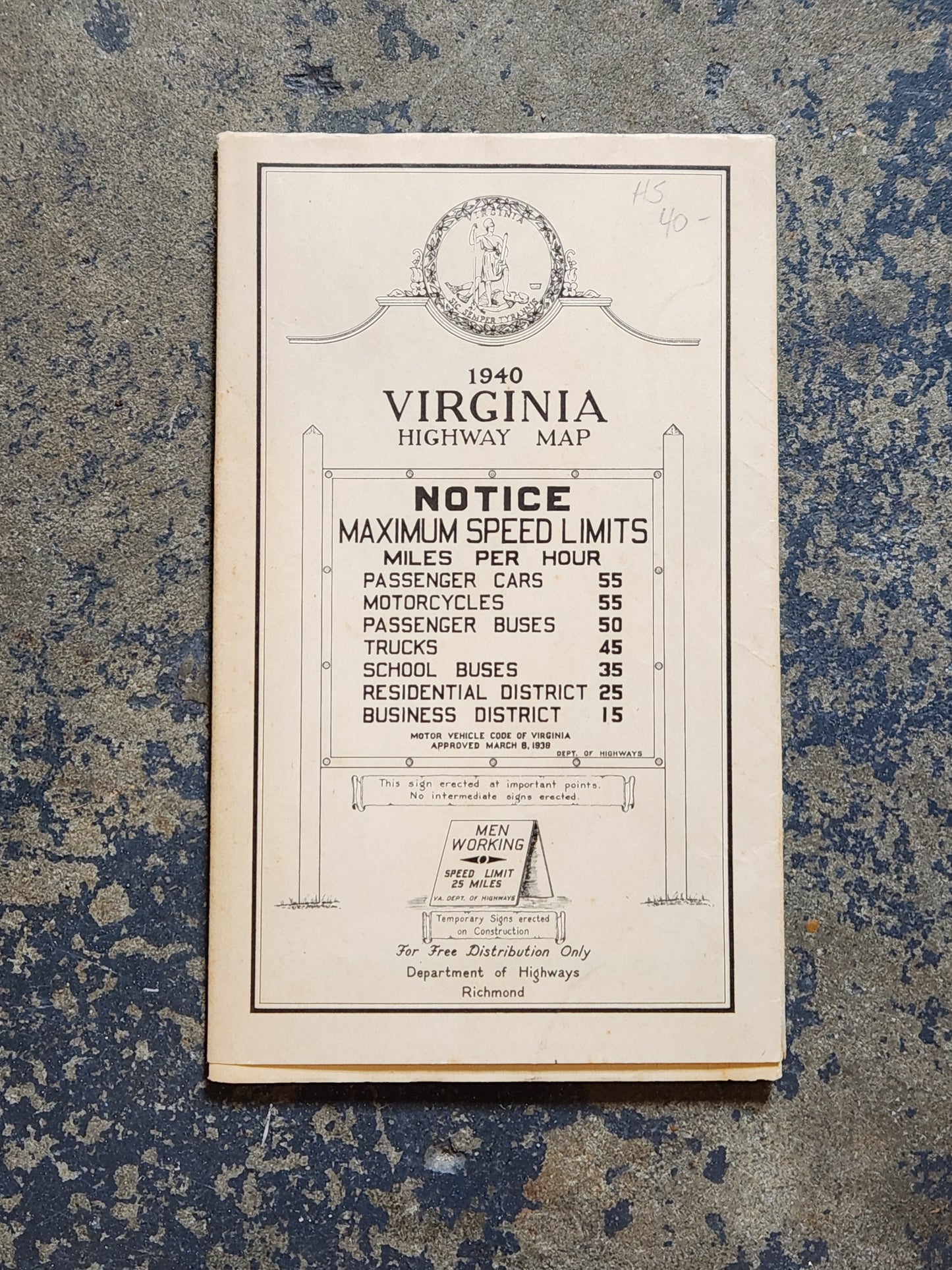
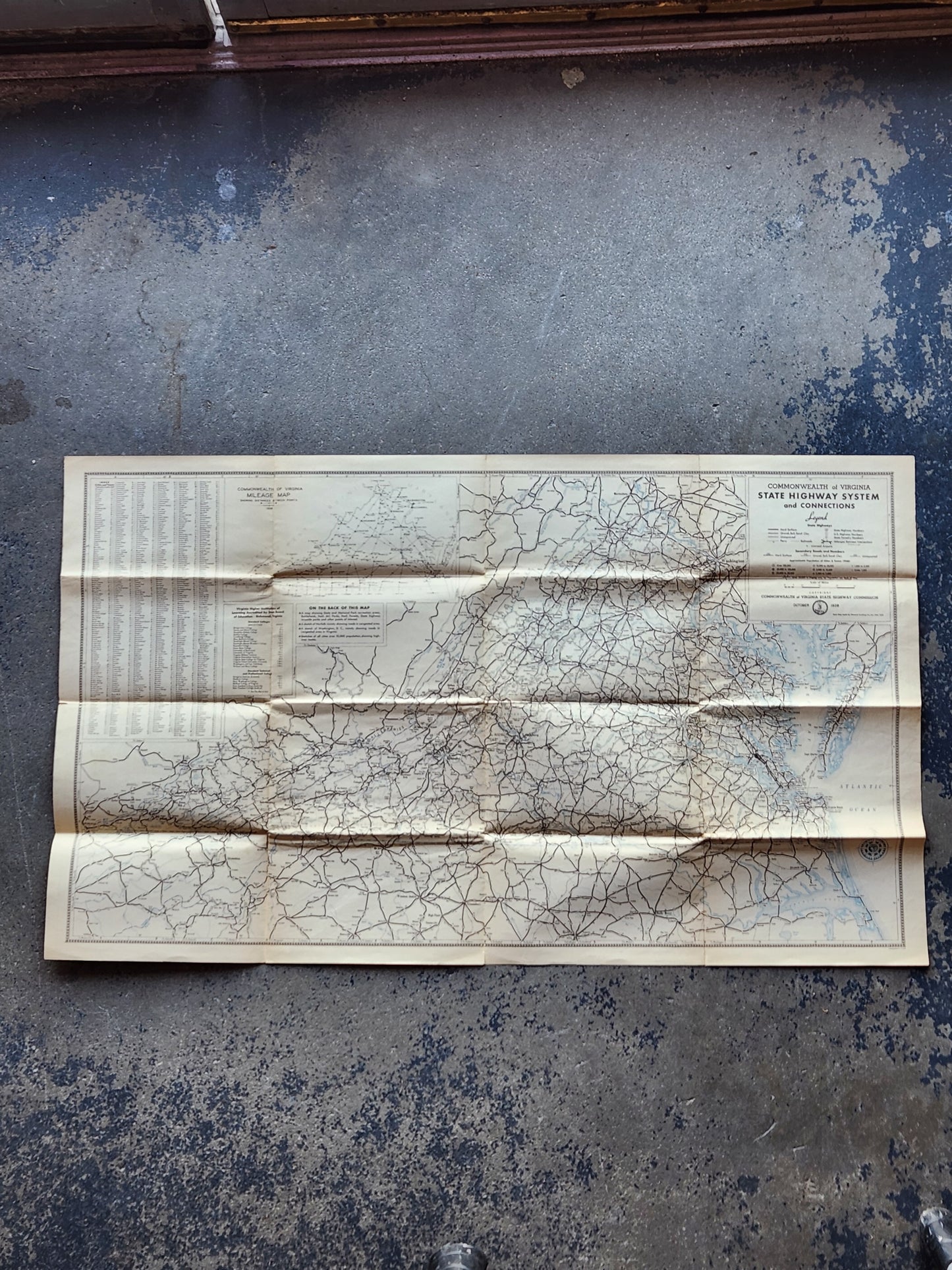
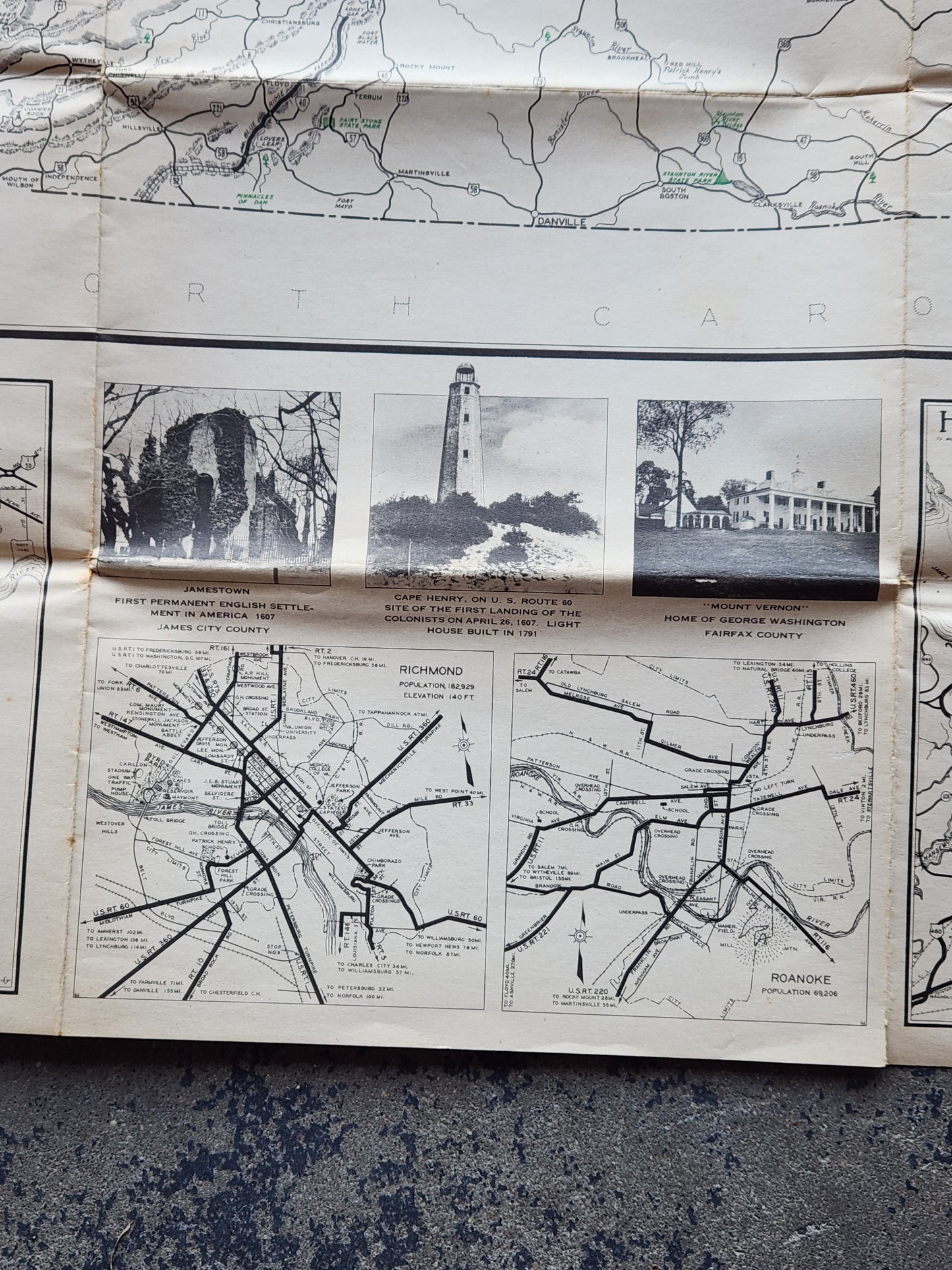
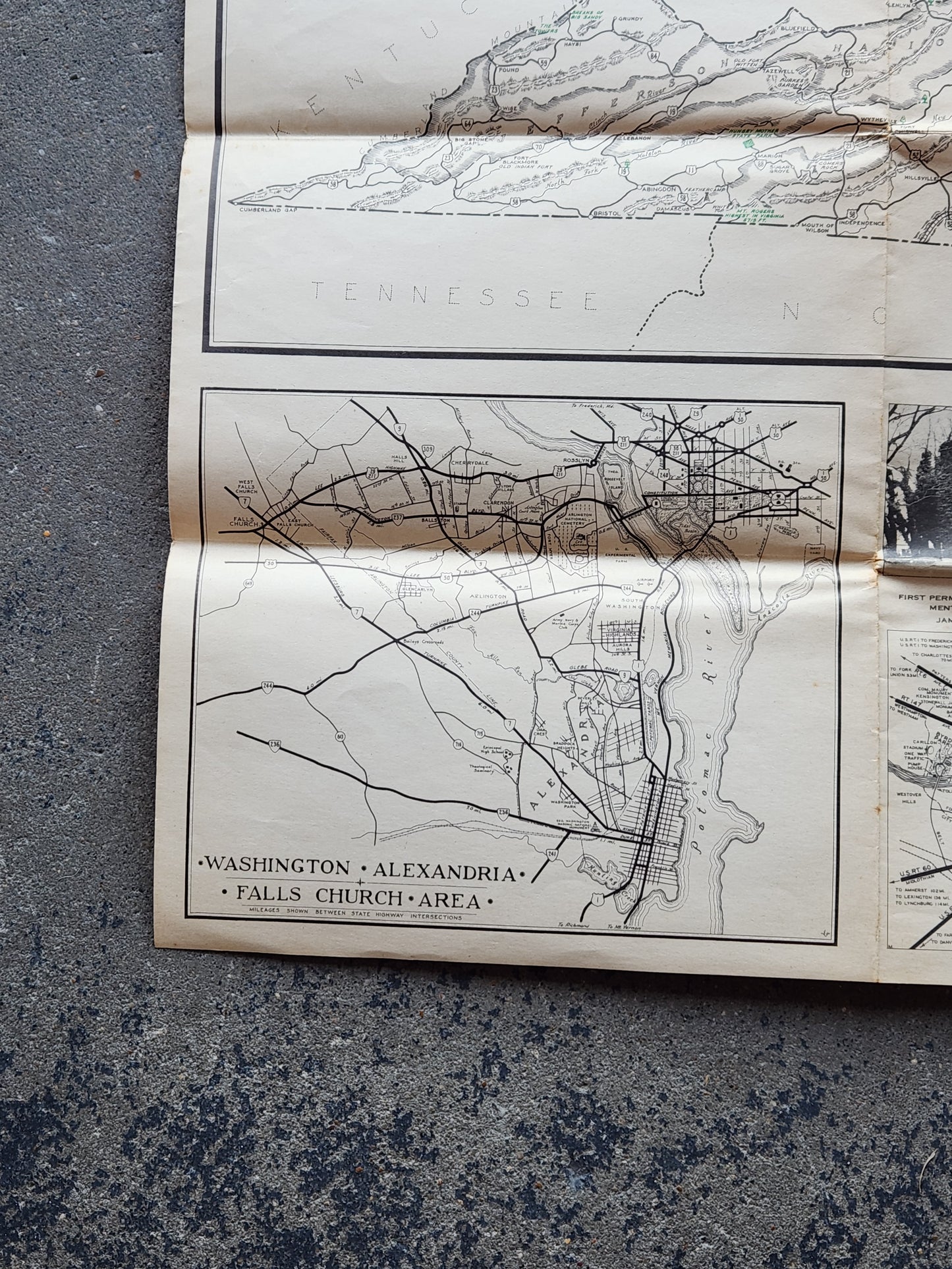
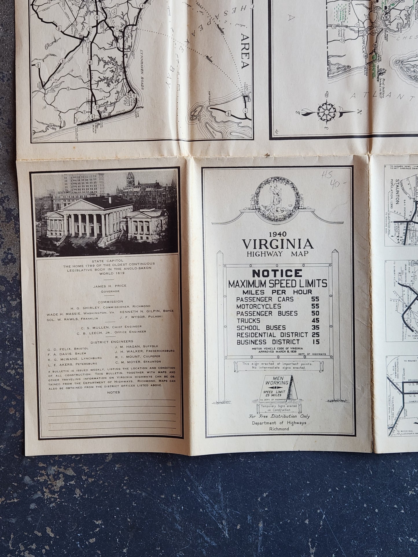
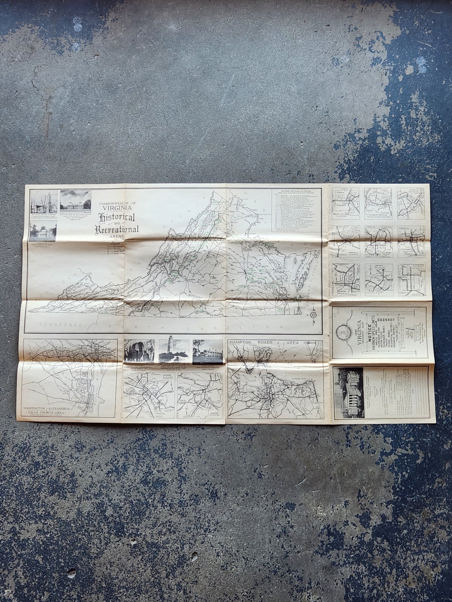
Original 1940 Virginia Highway Map issued by the Commonwealth of Virginia Department of Highways in Richmond. This detailed folding map shows the complete Virginia state highway system as it existed just before World War II, including major routes, towns, and regional insets.
Highlights include:
-
Date: 1940 (dated on cover)
-
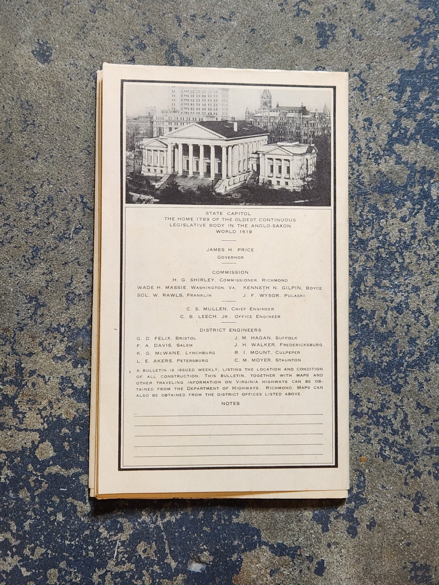
Issued by: Department of Highways, Richmond, VA
-
Details: Lists maximum speed limits of the period (Passenger Cars 55 mph, Motorcycles 55 mph, Passenger Buses 50 mph, Trucks 45 mph, School Buses 35 mph, etc.)
-
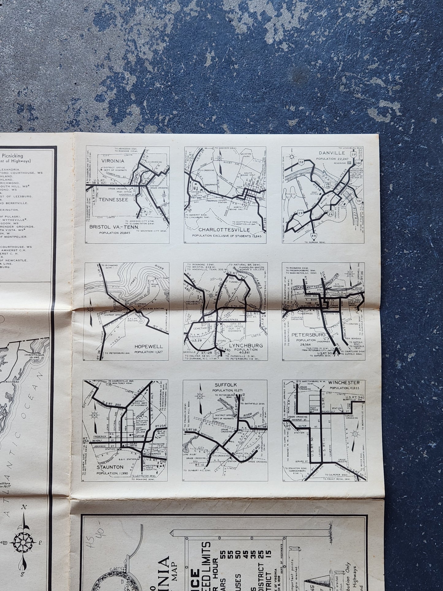
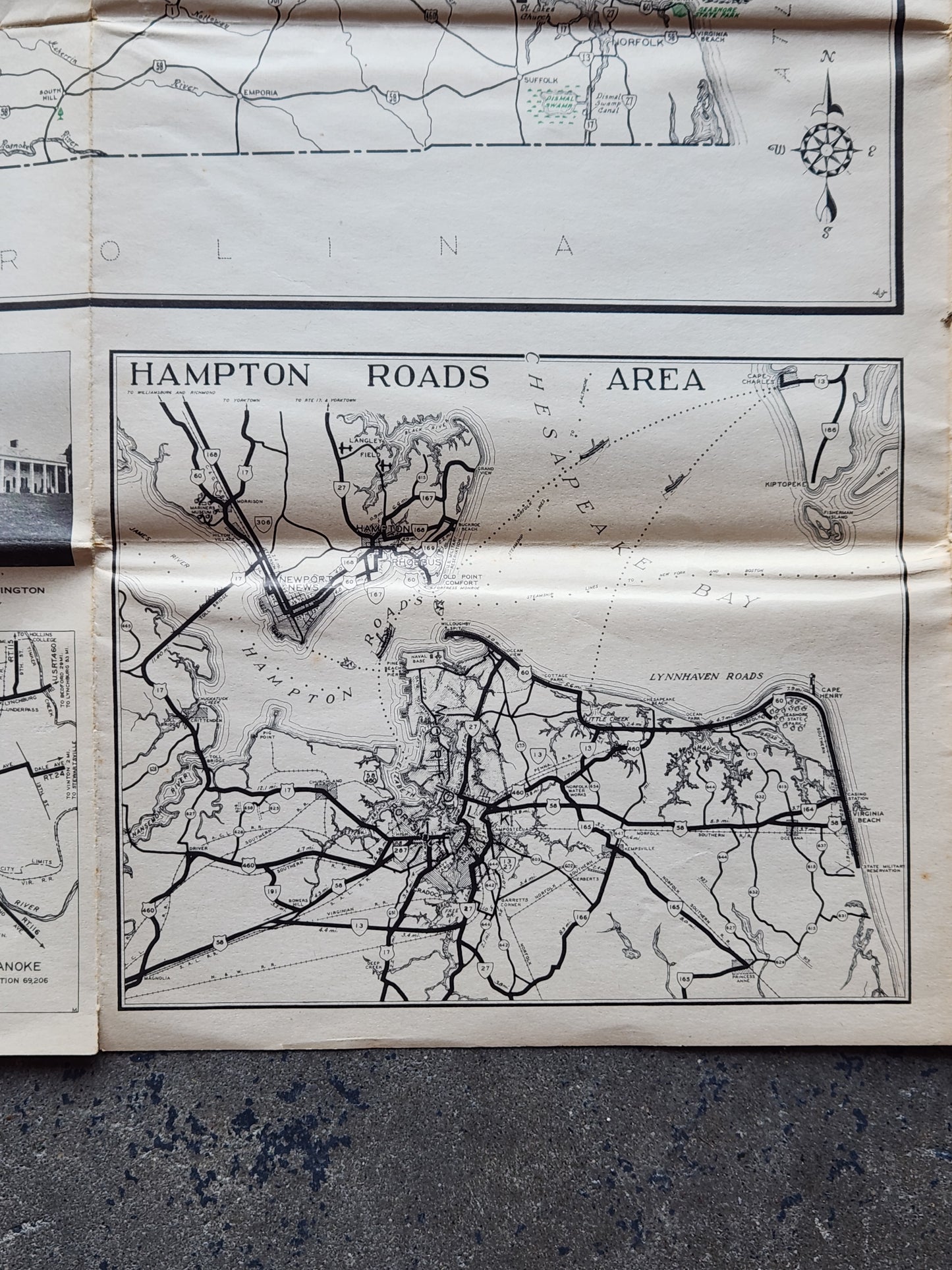
Insets: Washington–Alexandria–Falls Church, Richmond, Roanoke, Hampton Roads Area, Charlottesville, Staunton, Petersburg, Danville, Lynchburg, Hopewell, Suffolk, Winchester, and Bristol
-
Condition: Very good for its age. Clean and legible with some expected fold creases, light edge toning, and handling wear. No major tears. See photos for details.
-
Size (folded): Approx. 8" x 4.5"
-
Size (unfolded): Approx. 32" x 20"
A fantastic collectible for map enthusiasts, transportation historians, and anyone interested in Virginia history. Great for framing or display.
We have thousands of unique items at our location just a few minutes from the French Quarter. When you're in the New Orleans area, come by and see us!